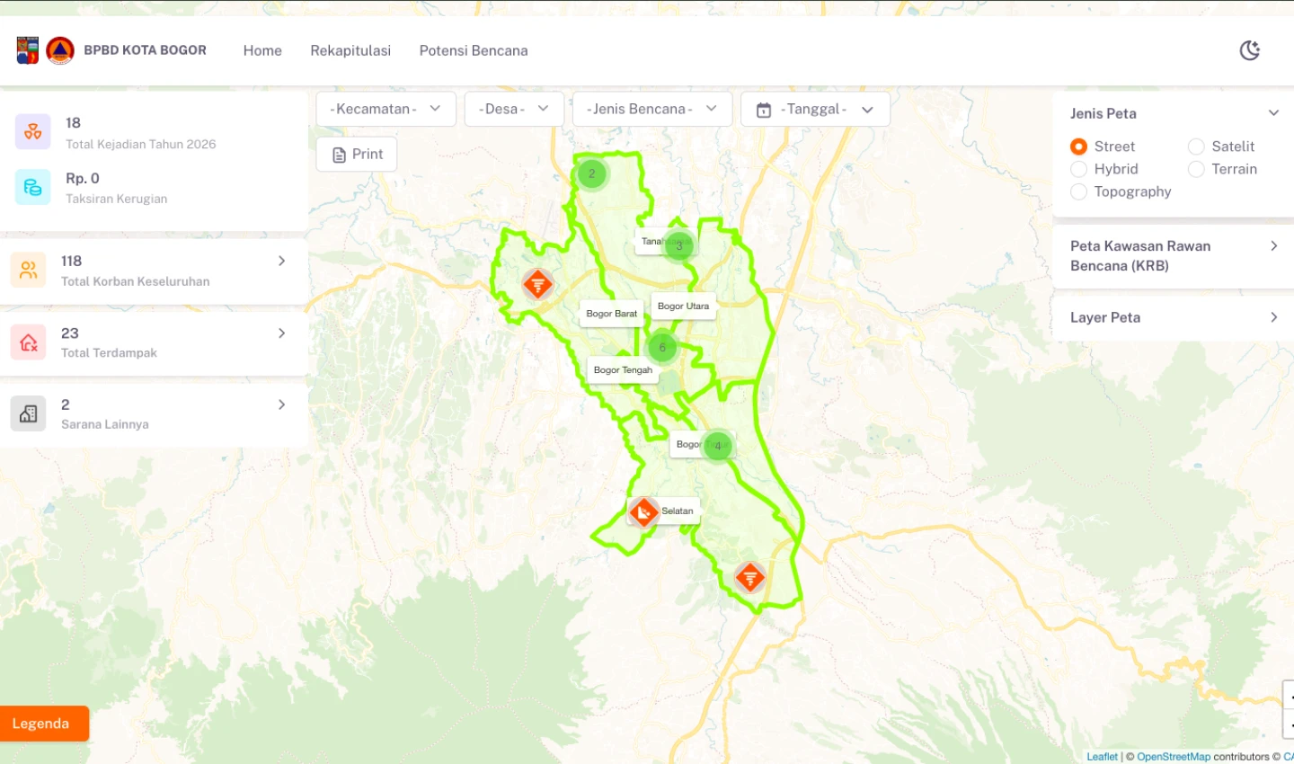
Integrated Disaster Information System for BPBD Bogor City
This system is an integrated disaster information platform developed for BPBD Kota Bogor to monitor and present comprehensive and real-time disaster data.
The system features an interactive map that visualizes various types of disasters as location points across Bogor City, along with detailed information such as the number of victims, damage levels, losses, and evacuation routes. It also includes multiple supporting map layers, such as topography maps, disaster-prone areas, historical disaster data, early warning systems, disaster-resilient villages, temporary and final evacuation sites, and disaster-safe education units.
On the main page, disaster data is also available in tabular format, which can be downloaded for analysis and reporting purposes.
On the administrative side, the system provides comprehensive data management features, including disaster reports, potential hazards, disaster types, victim data, damage data, evacuation routes, early warning systems, disaster-resilient villages, temporary and final evacuation locations, and disaster-safe education data.
With this system, disaster information management and dissemination become faster, more accurate, and well-integrated, supporting more effective decision-making in disaster mitigation and response efforts.